
Croom Trails
Explore Florida's premier mountain biking destination with over 50 miles of diverse terrain
About Croom
Nesetled in the heart of the Withlacoochee State Forest, Croom's mountain biking network delivers one of Florida's most rugged and exhilerating off-road experiences. With more than 50 miles of singletrack, this trail system offers an intense cardio workout wrapped in scenic wilderness-perfect for riders chasing adventure and variety.
Croom offers over 50 miles of diverse singletrack trails and is famous for its suprisingly steep climbs and extended trail runs-rare finds in Florida. Many trails wind through abandoned phosphate quarries, turning the landscape into a natural playground of punchy ascents, sharp drops, and rocky features that demand attention and reward skill.
While intermediate riders will find plenty of challenges to improve their game, the trail system offers something for every level-from beginner-friendly flow trails to advanced technical routes packed with obstacles.
With color-coded trail markings and strategically placed bailout points, riders can easily navigate the extensive network while enjoying the natural beauty of central Florida.

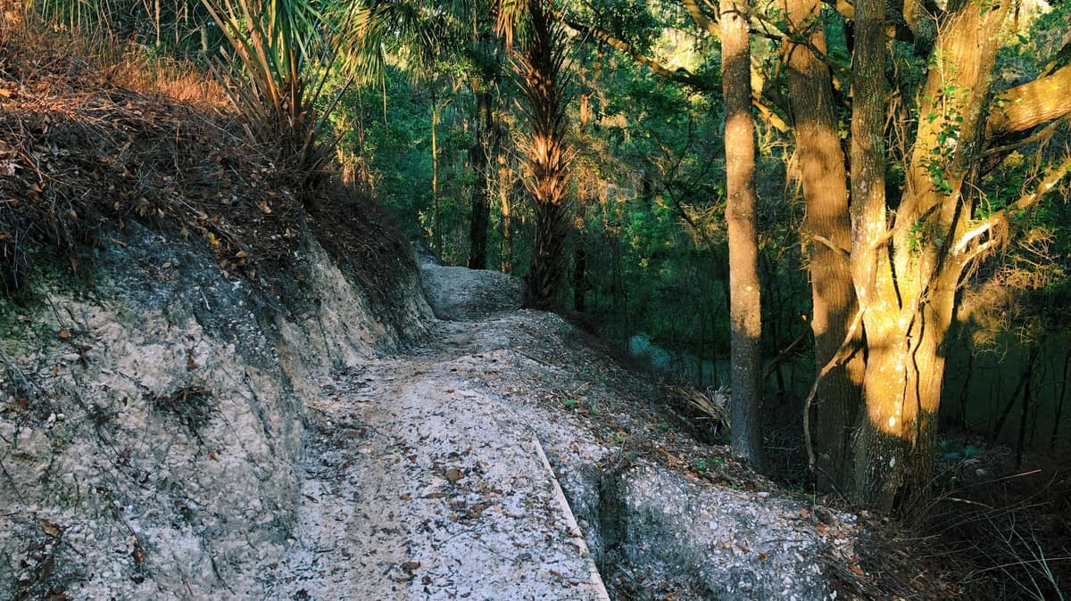
Pine Forest Singletrack
Flowing trails through tall pine forests, offering fast and scenic riding with a classic Florida feel.

Rock Gardens
Technical rock garden sections that challenge bike handling skills and provide a taste of rugged terrain.

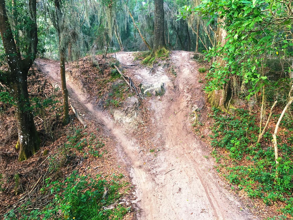
Steep Climbs
Surprisingly steep climbs and punchy ascents, rare for Florida, that test endurance and power.

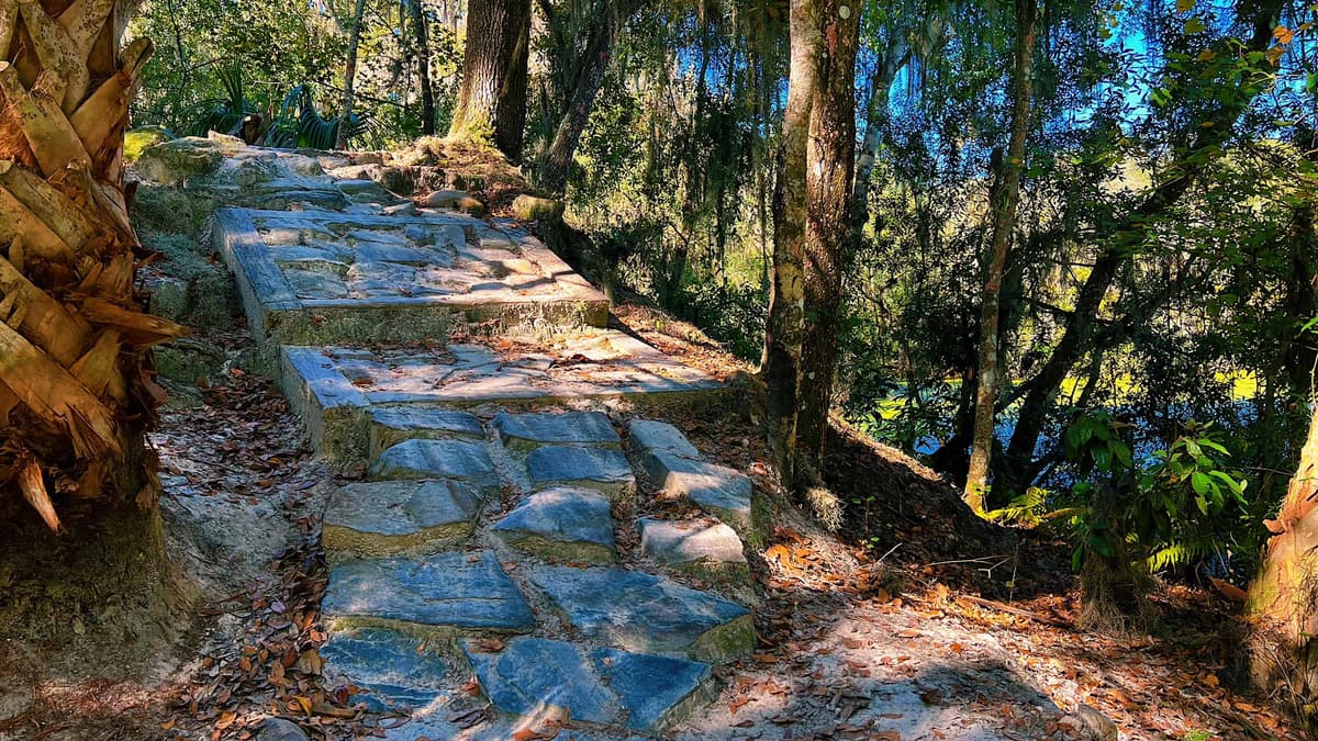
River Crossings
Scenic crossings and views along the Withlacoochee River, adding variety and beauty to the ride.

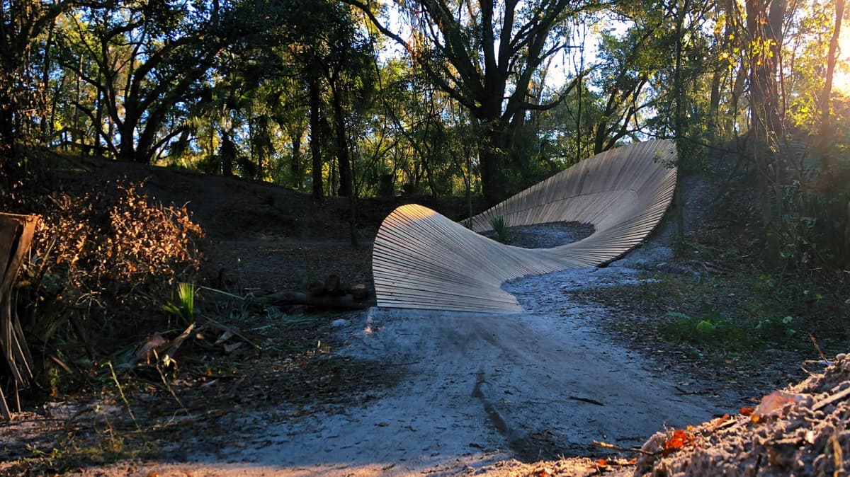
Quarry Sections
Trails wind through abandoned phosphate quarries, creating a natural playground of drops and features.

Long Wooden Bridges
Bridges and boardwalks over low-lying areas, providing both technical interest and access.
Photo Gallery


Trail Difficulty Breakdown
- South Blue Trail (2 miles)
- Northwest Blue Trail (3 miles)
- Southwest Blue Trail (2.5 miles)
- Yellow Trail Loop (12 miles)
- Southeast Blue Trail (5 miles)
- Sugar Mountain Loop (7 miles)
- Drunken Monkey (1.5 miles)
- Southern Comfort (4 miles)
- Bootlegger Hill (3 miles)
Maps & Directions
Trail Location: 26416 County Rd 480 W, Brooksville, FL 34601
Driving Directions
From Tampa:
Take I-75 North to exit 301 (SR-50). Head east on SR-50 for approximately 12 miles. Turn north onto Croom Rital Road, then left onto Croom Road (Forest Road 6). The main trailhead is Tucker Hill Day Use Area.
From Orlando:
Take I-4 West to exit 58 (CR-54/Polk City). Continue west to US-98, then head north to SR-50. Turn left (west) on SR-50, then north on Croom Rital Road, and left on Croom Road (Forest Road 6).
Ready to Ride Croom?
Grab your bike and helmet and experience some of Florida's best trails.